
The best laid plans start with a good map.
From a simple sketch on the back of an envelope to digital layers of complex geospatial data, maps tell us where we are, where we’ve been, and where we’re headed. Now citizens and professionals have an opportunity to complete the map that tells the story of how our state has developed, and to help communities make informed planning decisions about their future.
New Jersey’s landscapes have changed significantly throughout our state’s history, with steady population growth and development resulting in growing cities and suburbs. Land use experts monitoring development trends speculate that New Jersey will be the first state in our nation to reach complete build out, meaning that all parcels of land not protected through land preservation, regulation, or zoning will be developed. It’s clear that communities face difficult decisions about how to accommodate future growth while protecting the ecosystems and landscapes that sustain a high quality of life and economic vitality in the Garden State.
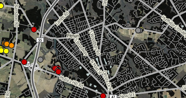
Enter NJ MAP, a website created by the Geospatial Research Lab at Rowan University (GeoLab). NJ MAP brings our ever changing landscapes into focus and provides visual clues as to future growth and development patterns, providing valuable insight to citizens, planners, and local decision makers. All 565 of New Jersey’s municipalities have their own dedicated page on the site, where you can access data and aerial photography specific to your community. Check your town out: http://njmap.rowan.edu/.
GeoLab needs your help!
Some of the data on NJ MAP is out of date and Rowan’s GeoLab has launched a crowdsourcing event to get your input! Has the farm down the road been developed? Is there a new community park in your neighborhood? What about the shopping center on the highway, does it show up on your town’s map? Help answer these questions and map the past, present and future of your community –and qualify for some nifty prizes! Anyone can participate, just log onto the GeoLab’s website and sign in to be a contributor.
 Margaret Waldock directs the Dodge Foundation’s Environment grants and identifies opportunities for Dodge to support innovative and creative approaches to advance sustainability and environmental protection in the Garden State.
Prior to joining Dodge in 2011, Margaret was Executive Director of the Hunterdon Land Trust for eight years, where she oversaw an expansion in net assets, staff, members and donors and helped preserve over 5,000 acres of land.
Photo Credit: Dennis Kleiman Photography